The full experience
First come, first served.100% research-led. Bespoke from scratch. Everyone welcome.Register your interest
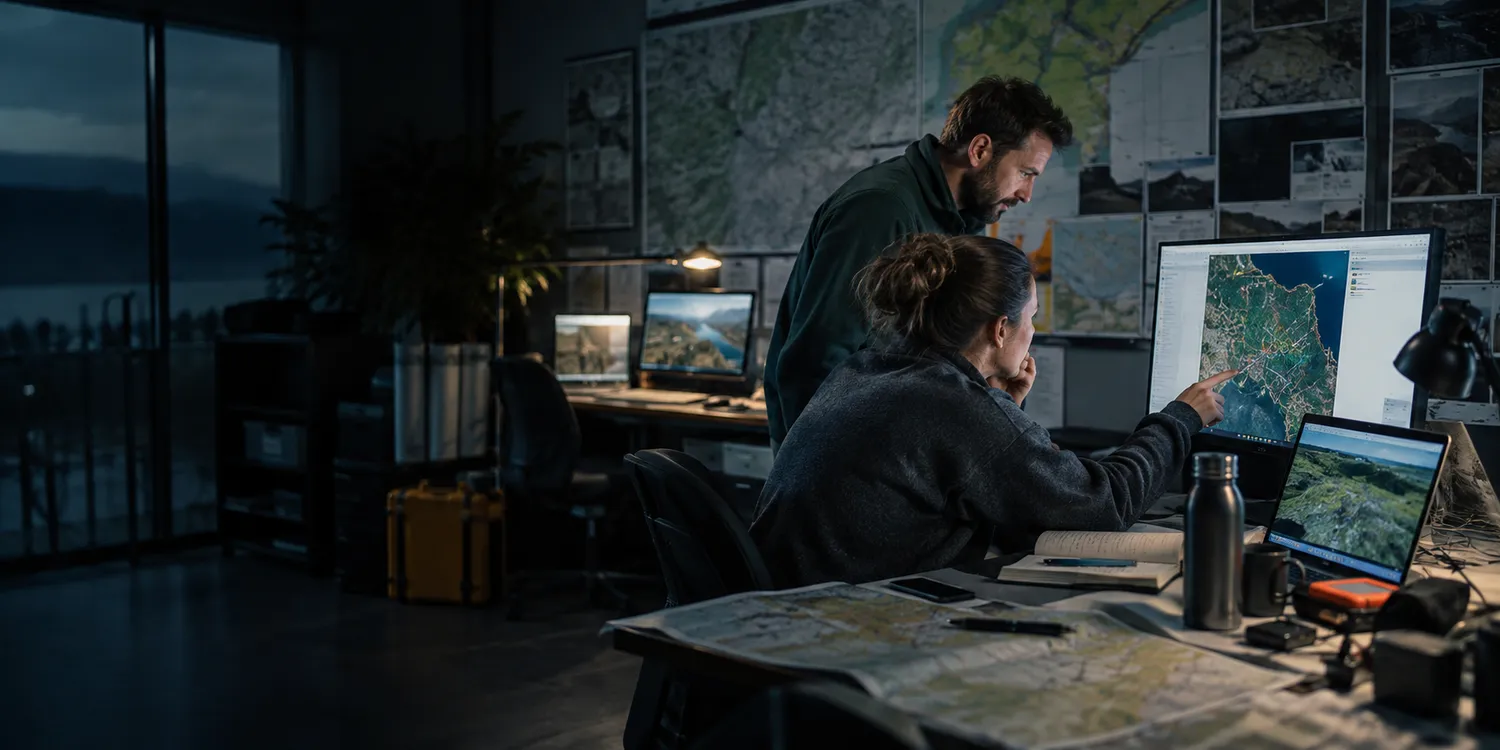
Geospatial analysts comparing map layers and field survey data in a mapping studio.
Technology and digital

GIS, geospatial and mapping services

Place becomes possibility.

A map can reveal patterns that a paragraph cannot. We would create an expressive digital landscape where location helps people understand services, assets or a complex place-based question. The experience could invite exploration through layered imagery and interaction, while map sources, boundaries and limitations remain clear enough to support responsible interpretation.

An explorable geography with meaning

Locate the decision behind the map

Planners, asset teams, researchers and community audiences use spatial information for different purposes. Discovery would identify the question each audience needs to answer, the available data and the level of precision required. We would distinguish exploratory public views from operational tools, ensuring the proposed presentation does not imply accuracy beyond what the approved source can support.

  1. Spatial question
  2. Map-layer selection
  3. Survey interpretation
GIS, geospatial and mapping services
  • Spatial question
  • Map-layer selection
  • Survey interpretation

An explorable geography with meaning

Layered maps, annotated aerial imagery and animated place stories could give visitors an engaging way to understand the subject. Search, legends and accessible textual summaries would support navigation. We would define scale, update information and permitted data use with the client, making important caveats visible without turning the experience into a dense technical manual.

Bring location into the working process

A scoped application might manage mapped asset updates, survey contributions or location-based enquiries. We would plan identifiers, coordinate formats and integration with authoritative datasets before implementation. Roles could control editing and review, with exports and change history designed for the intended workflow and procedures agreed for missing, conflicting or out-of-date spatial information.

Bring location into the working process

For mapping and survey specialists

Specialist businesses can explain their methods and deliverables through interactive examples built from suitable data. We can organise commercial enquiries around area, purpose and required outputs, helping purchasers describe a project while leaving survey precision, licensing and technical suitability to the agreed professional assessment.

For place-based public services

A public project would define which datasets can be published, who maintains them and how decisions use the resulting interface. We can document procurement scope, update responsibilities and access arrangements, with public-facing information clearly distinguished from restricted operational layers or unpublished property and asset records.

  • Location accuracy
  • Layer provenance

Check what the map invites people to infer

Validation could examine boundary labels, search results and the behaviour of missing locations. We would compare displayed values with approved reference data and test keyboard access to essential information. Acceptance would also review permissions and exports, checking that visual emphasis does not misrepresent precision or coverage.

Locate the decision behind the map

Give your place-based question a world people can explore.

GIS, geospatial and mapping services
A LITTLE CURIOSITY. A WHOLE NEW CHAPTER.Make something memorable

YOU FOUND THE SECRET ARCADE ↘

Good things
start with curiosity.

You looked a little closer. We made you a little something. Turn falling pages into a beautifully complete line.

SCORE0
LINES0
LEVEL1
Your browser needs canvas to display Page Drop. You can still bring your idea to us using the contact link.
ONE SECOND.
THEN MAGIC.
YOUR PAGES ARE
ABOUT TO DROP.
MAKE ROOM FOR SOMETHING GOOD.

Find your fit.
Clear a line.
Keep going.

Move, turn and tuck the pages into place. Complete horizontal lines to clear room. A four-line clear and a streak make your score sing.

Keyboard: ← → move · ↑ / X turn · Z turn back · ↓ lower · Space drop · C hold · P pause. Escape closes.

Starting in one second. Playing is just for the pleasure of it.

The good
company board.

Open the arcade to see the latest scores.

    Your next idea could be a website, a useful tool, a delightful little game. Let’s start with the people it’s for.View this page’s source